Morning Light on ridgeline from Windows area of Arches NP

Landscape Arch, Arches NP, UT

Petroglyph along UT 279, a few miles West of Moab

JugHandle Arch, along UT 279, a few miles West of Moab

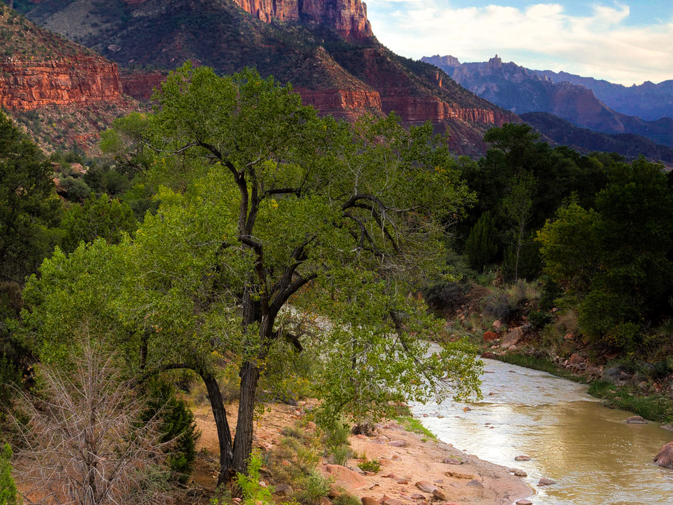
Tree near Jug Handle arch, along UT 279, a few miles West of Moab

Park Avenue Trail, Arches NP, UT

Park Avenue Trail, Arches NP, UT

Balanced Rock with La Sal Mtrs, Arches NP, UT

Mesa Arch, Canyonlands NP, UT

Mesa Arch, Canyonlands NP, UT

Mesa Arch, Canyonlands NP, UT

Washerwoman Arch, Canyonlands NP, UT

Grand Veiw Point, Canyonlands NP, UT, By Dan Hartford

Ryan Landing at, Grand Veiw Point after a short flight, Canyonlands NP, UT

Delicate Arch with the La Sal Mountains in the background from upper view point, Arches National Park, UT. Delicate Arch is a 65-foot tall freestanding natural arch. It is the most widely-recognized landmark in Arches National Park and a symbol for Utah itself.

Washer Woman Arch behind Mesa Arch, Canyonlands National Park, UT. Taken just after dawn the day after a dust storm. There was a Lot of dust still in the air which amplified the golden color of the sunrise sunlight. These arches are in the Island In The Sky section of Canyonlands NP which offers classic representations of the American Southwest.

Composite photo of the Blood Moon Lunar Eclipse (Arpil 14-15, 2014) over Delicate Arch with LaSal mountains. The arch and mountain image was a late afternoon shot made to look like night. The moon was shot from Palo Alto, CA

Park Avenue Trail, Arches NP, UT

Colorado River through Canyonlands National Park from Dead Horse Point State Park, Utah, By Dan Hartford. This landscape photo shows the classic carved canyon formations typical of red rock country in the American Southwest.

Butch Cassidy Boyhood Home. Near Circleville, UT (2017)

Abandoned Gas Station near Circleville, UT (2017)

Western edge of Waterpocket Fold, UT-24 4 miles NE of Torrey, UT (2017)

By Chimney Rock, Capital Reef NP. UT-24 3 miles west of visitor center

Chimney Rock, Capital Reef NP. UT-24 3 miles west of visitor center

Rebuilt structure, Fruita, Capatol Reef National Park near Visitor Center

Erosion holes in cliff walls. Capital Gorge, Capital Reef National Park, UT (2017)

Scenic Drive in Capital Reef NP. 7.5 miles south of Visitor Center

Mummy Cliffs from end of Gooseneck Overlook Road. Capital Reef NP, UT (2017)

Three Gossips towering above the road. Arches National Park, UT ()2017)

Skyline Arch from Salt Valley Rd. Arches NP, UT (2017)

Weathered Sandstone from Skyline Arch Trail, Arches NP, UT (2017)

Weathered formation along Skyline Arch trail, Arches, NP UT (2017)

Park Avenue canyon walls. Arches NP, UT (2017)

Three gossips. Arches NP, UT (2017)

Fin formation. Park Avenue, Arches NP, UT (2017)

Desert road. Salt Valley, Arches NP,UT (2017)

Skyline Arch Panorama from Salt Valley Rd. Arches NP, UT (2017)

Almost ready to fall off. Park Avenue. Arches NP, UT (2017)

Fins and shadow of opposite canyon wall. Park Avenue, Arches NP, UT (2017)

Butte seen from Jct. of Grand View Point Road and UT-142. Canyonlands NP, UT (2017)

Washerwoman Arch from Mesa Arch Viewpoint. Canyonlands NP, UT (2017)

Colorado River from Dead Horse Point State Park, UT (2017)

Wind sculpted formation at Dead Horse Point State Park, UT (2017)

Rock formations. Dead Horse Point State Park, UT (2017)

Potash evaporation ponds from Dead Horse Point State Park, UT (2017)

A Chimney Butte with Potash evaporation ponds behind. Dead Horse Point State Park, UT (2017)

Canyon by Dead Horse Point. Dead Horse Point State Park, UT (2017)

Dead and twisted tree. Dead Horse Point State Park, UT (2017)

A chimney butte at Dead Horse Point Sate Park, UT (2017)

Big Mesa. Canyonlands NP, UT (2017)

Fisher Towers, Professor Valley 25 miles NE of Moab UT along UT-128 (2017)

Colorado River and Fisher Towers. UT-128 27.2 miles NE of Moab (2017)

Butte from Ida Gultch Picnic Area, UT-128, 19.3 miles NW of Moab, UT (2017)

Butte from Ida Gultch Picnic Area, UT-128, 19.3 miles NW of Moab, UT (2017)

Butte and autumn tree from Sorrel River Ranch. UT-128, 20 mi NE of Moab, UT (2017)

Butte and trees from Sorrel River Ranch. UT-128, 20 mi NE of Moab, UT (2017)

Pedestrian bridge across the Colorado River between Moab and Arches NP. Moab UT (2017)

Big Mesa Veiewpint, Canyonlands NP, UT (2017)

Silouette of butte from Fisher towers,Professor Valley 25 miles NE of Moab UT along UT-128 (2017)

Pedestrian bridge across the Colorado River between Moab and Arches NP with reflections. Moab UT (2017)

Scenic Drive in Capital Reef NP. 7.5 miles south of Visitor Center

Capital Reef NP. Scenic Drive near Ferns Nipple 4.7 miles South of Visitor Center


